May 23, 1968
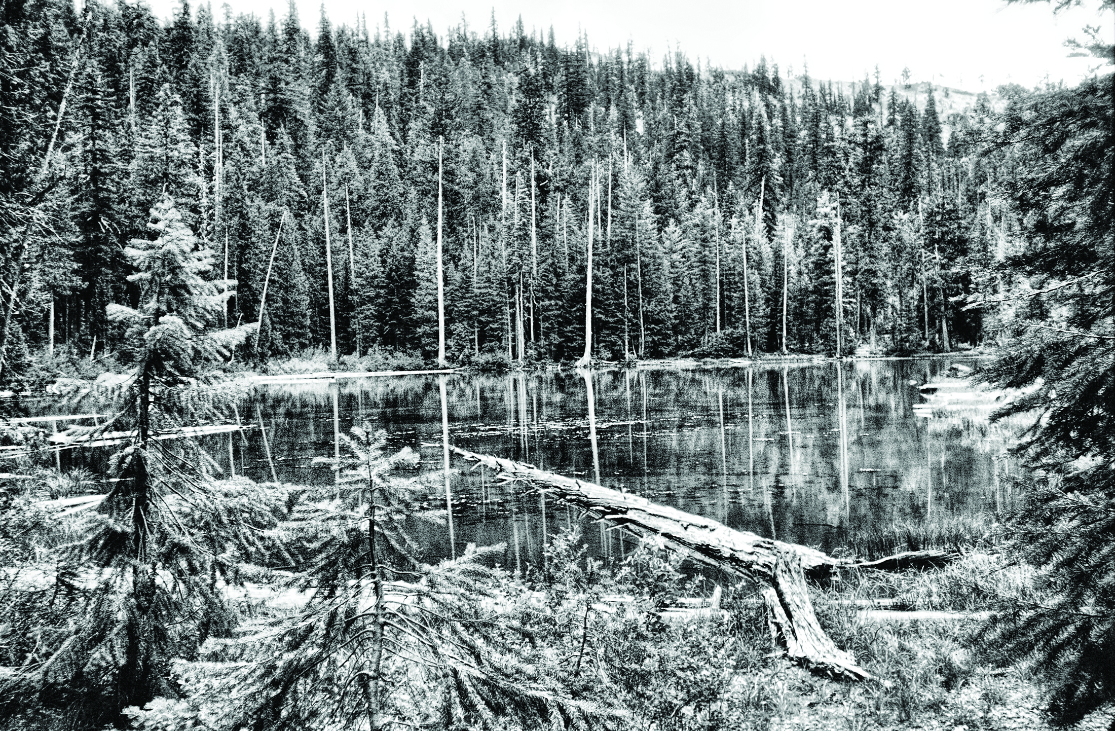
If you ever want to follow the old Mud Lake trail through to the lake it was named for, in order to ferret it out all the way you’ll need, besides plenty of stamina and lunch, these three things: lots of patience, lots of luck, and a Ouija Board.
Five miles above my place, to the east up Dunn Creek canyon, a high ridge plunges down out of the mountains and shears a sizable slice out of Dunn Creek. This sliver branch, because it originates up near Poker Plat, is called Poker or Poker Flat Creek. Near its confluence with Dunn Creek, where the big dividing ridge drops sharply down to its end, is the site of the early-day placer mine that was hopefully named Little Klondike, the last of the old buildings of which was washed into the Pacific Ocean during our big ‘64 flood.
Up to this point following the Mud Lake trail is no problem, and for some distance above Little Klondike to where the trail crosses Poker Flat Creek and begins steeply zigzagging up the dividing ridge it is plain enough. Going up the ridge the old trail now, feeling the weight of its many years, lonely and discouraged, with the friendly soothing steps of pack mules, burros, and old miners no longer felt along its winding rocky way, and encroaching new-fangled roads now visible in the mountains on either side, seems to be retiring thankfully into oblivion.
For a couple of miles up the ridge the old trail has been singled out from the maze of equally untraceable game trails by Forest Service surveyors and marked with colored plastic ribbons. Beyond Camp Oh, Hell!, where the survey crew spent some time while cruising out the timber sale boundaries (and one of their number with a sense of humor dreamed up the quaint name for their camp site), the trail becomes so dim it’s no longer distinguishable, and from here the only guideline to follow is the straight row of markers that designate one boundary of the sale area.
When you reach the point where the line of pretty ribbons makes a right-angle turn to commence another side of the rectangle you’re on your own. Up here the old trail has given up the ghost and has long since been buried under a dense cover of manzanita, mountain whitehorn, and oak shrubs. I’ve tried to follow it through to Mud Lake several times, but without success. My patience is wearing pretty thin, but I still may get lucky someday. Or reliable old Ouija may take pity on me sometime and show me where I went wrong.

My latest project has been trying to figure out how the Mud Lake trail runs in relation to the wonderful new Dunn Creek Road that roughly parallels it on the opposite side of this upper end of the valley, where ridges and canyons keep popping up all over the place.
First I drove 6 or 7 miles up the valley to the end of the new road, nowhere being able to spot the old trail on any of the ridges to the south. I hiked on around the side of the mountain and explored two parallel ridges without being able to find the trail. I tramped for 3 hours up and down and across ridges. One canyon I crossed four times and still couldn’t figure out the puzzle.
Yesterday I tried it the other way, leaving the jeep at home I hiked east up the old mining road to the vicinity of Little Klondike, then followed the old trail up the big ridge to Camp Oh, Hell! and beyond till the last blue ribbon was left behind. Then I turned toward the north and worked my way around in what I knew was the general direction of the logging road.